Count every vine in the block without walking the rows.
A vine and tree inventory built from one seasonal pass over the block: every plant located, its canopy sized and its vigor scored, with the gaps and weak vines listed for the crew to work from.
- GSD
- Under 10 cm (drone or aircraft)
- Cadence
- Seasonal, flown once
- Platform
- Drone or crewed aircraft
- Spectral
- Multispectral
Tape, a tally sheet and a sample
The block gets walked at the end of the season. Someone goes down the rows, ties flagging tape on every gap and dead vine, and keeps a tally. On the big blocks nobody walks every row, so the crew counts a few and multiplies. That number sets the nursery order and the replant plan.
Then planting crew turns up in spring, and the tape count and the actual count of holes don't agree. You're short of vines, or you paid for vines the block didn't need.
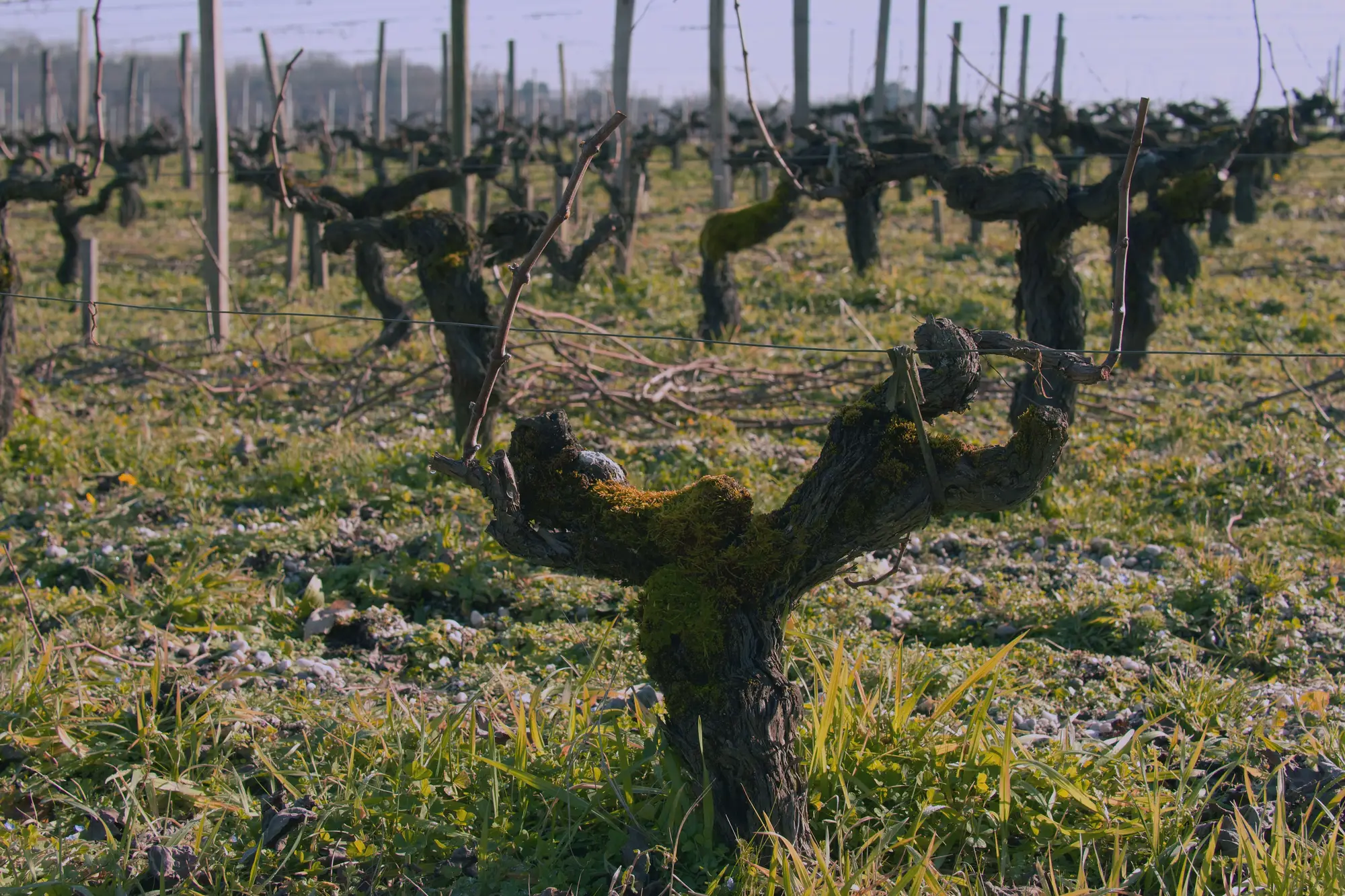
The same block, counted two ways
| Step | Walk and tag | With Vineyard Mapping |
|---|---|---|
| Counting the block | A crew walks the rows, tags each gap and dead vine with tape and totals a tally. Big blocks get a sample of rows, scaled up. | One pass over the whole block. Every plant is located and counted, and the gaps are marked where they sit in the row. |
| Still yours Walking a few rows afterward to see what's actually standing there. | ||
| Replant or retrain | You work from a sampled share of missing and dead vines and your own read of the block. | A map of the block showing whether the gaps are scattered or bunched together, with the weak vines shaded by vigor. That's enough to see whether filling in holes makes sense or the block needs pulling. |
| Still yours The decision itself, and any look at the wood. Trunk disease down at the graft union won't show from above. | ||
| The nursery order | Vines are ordered off the sampled count, months ahead of spring planting. | The order is sized from the gap count for each block, before the order goes in. |
| The crew's work order | Tape on the trellis and a crew lead who knows the block. Fine until the lead is off, or the tape has blown down. | An exportable gap and replant list the crew can work from, block by block. |
| Thinning and oversized canopies | You judge canopy size by eye as you drive the block, and the loud ones get noticed first. | Canopy area scored for every plant, so the oversized ones and the weak ones both show on the block map. |
| Checking the count | You trust the crew that walked it. | You spot-check a few rows against the map on foot, and tell us where it's wrong. |
| Still yours The ground truth. The map gets checked against the rows you know. | ||
What comes back for each block
One set of files per block, from a single seasonal pass. Each one goes to a row in the ledger above.
Map layer
Per-vine location map
Every plant located, block by block. It's the count behind the counting row and the picture to bring to the replant meeting.
Attribute on the map layer
Canopy area per plant
The canopy of each plant sized, so oversized ones show up for the thinning pass and small ones stand out beside their neighbors.
Attribute on the map layer
Vigor score per plant
A score for each plant, rolled up to a block total. It sits beside the gap map when you decide between filling in and pulling out.
CSV
Gap and replant list
The gaps, weak vines and oversized canopies listed by block, row and position. It's what the nursery order gets sized from and what the planting crew works down.
Around your season
You send the block once. One pass gets flown for each block, and the files come back to you to check.
Before the pass
Send your block boundary
A boundary for each block you want counted, with the block ID your records use, plus the variety and vine spacing if you have them on hand.
Pick the window
Tell us your calendar: when the nursery order has to go in and when you want the crew planting. We'll confirm what the block needs before you commit anyone.
Once a season
We fly the pass
Drone or crewed aircraft, multispectral, ground detail finer than 10 cm a pixel. We plan around weather and daylight.
After the pass
Vines counted and scored
Each plant is detected, its canopy sized and its vigor scored. Gaps are listed where a vine should be.
Files come back
The map layer and the gap and replant list, for you to check against a few rows on foot. We agree the delivery date with you when we scope the pass.
What walking the block still does better
Read these before you size a nursery order off the map.
- One pass a season
- This is a seasonal inventory. It isn't a feed through the growing season, and it won't show what changed between passes.
- Daylight and a clear sky
- The imagery is optical, so it needs daylight and reasonably clear weather. Cloud or haze pushes a flight back to the next good window.
- What sits under the canopy
- The imagery sees from above. A vine that's dead but still trained on the wire can look like a live one, and with neighboring shoots touching in full leaf, a gap can close over. The timing of the pass matters, so we agree it with you up front.
- The smallest gap
- Detection is tied to the ground detail of the pass, finer than 10 cm a pixel. A missing vine is a gap of vine spacing in the row, which the pass can resolve. Anything smaller than a vine, a cane or a wire, isn't traced.
- Position, not survey grade
- Vines are located well enough to send a crew to a row and position. We don't claim survey-grade coordinates.
Who it's for
Switch if
- You run a permanent-crop estate and you count vines or trees by walking the block.
- You make the replant, thinning and nursery-order calls block by block and want a full count under them.
Stick with walk and tag if
- You manage a small planting where walking every row is quick.
- You need in-season monitoring. This is a seasonal pass.
- You need a wood-health diagnosis of individual vines. That takes a person and a pruning shear.
Before you switch
Does this replace walking the block?
It replaces the count, not the walk. You still go and look at the vines the map flags, but you're looking at specific rows instead of tagging every row to find them.
How do we check it against our own count?
Pick a few rows you know well and walk them with the map. If the count is off, tell us and we'll go through that block's pass with you.
Can it fly through cloud, or at night?
No. It's optical imagery, so it needs daylight and a clear enough sky. We plan the flight around your window.
What's the smallest gap you can see?
A missing vine, a gap the size of your vine spacing in the row. The pass is finer than 10 cm a pixel, which resolves that. We don't promise anything smaller than a vine.
How often can you refly a block?
Once a season is what this is built for. If you want a second pass in a year, ask and we'll scope it.
Do you need ground markers on the block?
Tell us the block and we'll confirm what the pass needs before you commit a crew.
Will it open in our block records or GIS?
You get a map layer and a CSV list. The CSV opens in a spreadsheet, and the map layer opens in a GIS. There's no direct integration with a vineyard-management app.
Who owns the maps, and can we share them?
Your block boundaries stay yours. What you can do with the files and the imagery behind them gets written into the project agreement before the pass is flown.
How is it priced?
It depends on the acreage and the number of blocks, so we quote after we've seen them. There's no price list on this page.
Send us the block before the nursery order.
A boundary for each block and the date your order has to go in. We'll scope the pass from there.